Newly Launched NOAA Website Centralizes Water Data
The U.S. National Oceanic and Atmospheric Administration (NOAA) has unveiled a new website as a...
Read More
The U.S. National Oceanic and Atmospheric Administration (NOAA) has unveiled a new website as a...
Read More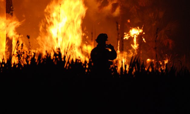
As demonstrated by a recent spate of historically destructive wildfires affecting Hawaii, Canada,...
Read More
A new, free-to-use mapping tool enables users to pinpoint flood-prone areas nearly anywhere on...
Read More
Stormwater project designers often have numerous design and configuration options that would match...
Read More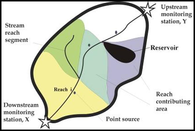
The U.S. Geological Survey (USGS) has released new interactive mappers and models for its online...
Read More
