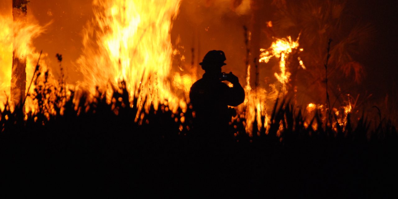
As demonstrated by a recent spate of historically destructive wildfires affecting Hawaii, Canada, Greece, and elsewhere, the aftermath of a blaze can create hazards that persist long after it has been extinguished. Landscapes scoured of their vegetation and air saturated with smoke-derived pollutants fundamentally change how the local ecosystem operates for several years until its eventual recovery, often opening the door for new disasters.
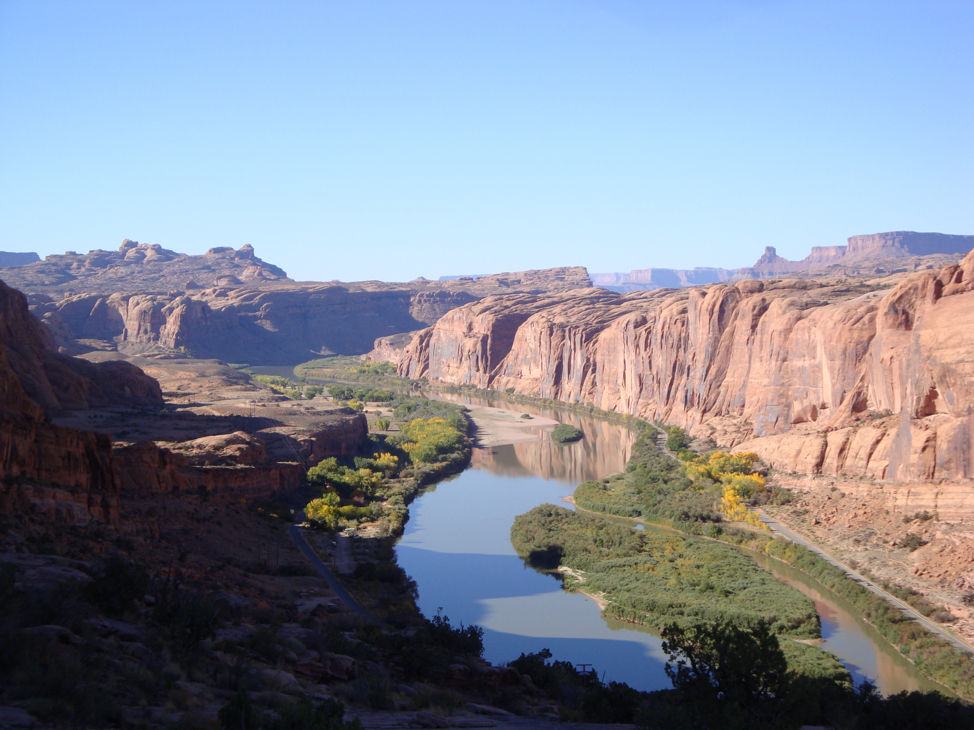
In June 2020, for example, the Bighorn Fire swallowed nearly 48,500 ha (120,000 ac) of land in southern Arizona, leaving behind enormous swaths of decimated vegetation and other burnt debris. A few weeks later, video footage shows how a light rainstorm generated dangerous flash flooding that swept this debris through Tucson’s Cañada del Oro Wash without resistance. As scientists long have understood, areas that recently have experienced wildfires face higher risks of these kinds of flash floods, landslides, and debris flows. However, the geophysical mechanisms behind the phenomena — as well as ways to predict specifically where they will occur — remain largely elusive.
For this reason, academics and disaster-relief professionals are working to better understand the link between fires and floods.
Seeking Answers Underground
Broad consensus exists among scientists that post-wildfire flooding results from a sudden loss of vegetation that otherwise would absorb rainwater while keeping soil stable against erosion. However, a recent study published in Nature Communications suggests that vegetation loss is only part of a more complex flooding equation.
Study authors, representing the University of Southern California (USC; Los Angeles), the University of Michigan (Ann Arbor), Rutgers University (Newark, New Jersey), and the U.S. Geological Survey, focused on the September 2020 Bobcat Fire in Southern California that scorched an area nearly the size of Chicago. From December 2020 through March 2022, the researchers monitored runoff patterns in three watersheds with similar geology and slope steepness: two that were affected heavily by the Bobcat Fire, and one that was largely untouched.
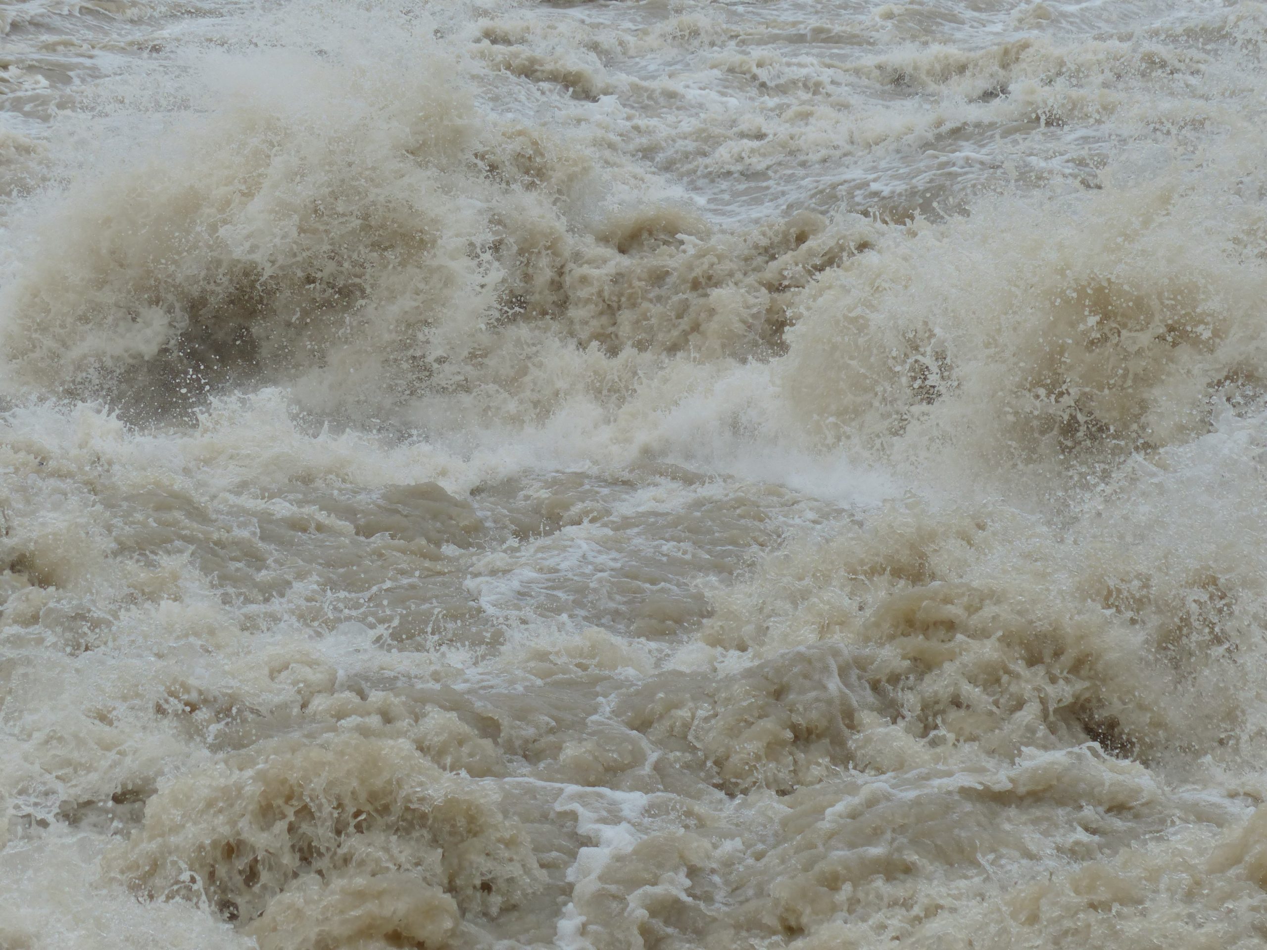
Their observations confirmed that the burnt watersheds demonstrated far greater potential for flash flooding — generating between 4- and 10-times greater streamflow volumes than the unburnt watershed for each storm — but not for the reasons the researchers hypothesized. Previous studies had suggested that when wildfires burn leafy plants, oils on the leaves accumulate along the ground, creating a slick, hydrophobic layer that restricts rain from infiltrating soil. Through a combination of electrical-resistivity testing, isotope tracking, and the use of rain gauges and trail cameras, the researchers traced the path of each storm as water moved across the region. They discovered that substantial volumes of stormwater permeated soil in all three watersheds, refuting the notion that this oily layer promotes flooding by facilitating aboveground flows.
The difference was what happened underground. Evidence suggested that wildfires accelerated natural weathering and erosion processes in the bedrock beneath the soil in the burnt watersheds. Without plant roots in place to sequester rainwater, much of the precipitation in these watersheds flowed directly through the bedrock, where it accumulated in groundwater aquifers. Subsequent storms mobilized water in these underground reservoirs far more easily than water stored by plants in the unburnt watershed, allowing it to reach streams and more readily generate flash flooding, landslides, and similar phenomena. The study describes that eroded bedrock beneath burnt watersheds likely makes the region more susceptible to these types of hazards, even several years after wildfires occur.
“The underground water accumulation suggests that the potential for landslides extends far beyond the two years following the fire, posing an enduring problem,” said Joshua West, study co-author and USC Professor of Earth Sciences. “The abundance of water stored in areas affected by the Bobcat Fire, for example, could serve as a harbinger of future flooding concerns in the years to come.”
Researchers emphasize that monitoring belowground processes that could affect post-wildfire flooding is just as important as studying aboveground conditions, and that results from their study could help watershed managers more accurately predict where these hazards are likely to occur.
Read the full study, “Importance of subsurface water for hydrological response during storms in a post-wildfire bedrock landscape,” in Nature Communications.
From Information to Action
As more information becomes available about the mechanisms behind post-wildfire flooding, the U.S. Army Corps of Engineers (USACE) is working to improve its capability to prepare for these hazards.
The USACE Hydrologic Engineering Center (HEC; Davis, California) recently improved two of its most popular, publicly available modeling programs: HEC-HMS, which simulates such watershed-level processes as infiltration, snowmelt, and evapotranspiration; and HEC-RAS, which focuses more narrowly on stream-level processes such as sediment transport and fluctuations in water temperature. Updates to these two programs enable users to better account for how hydrological processes are likely to change after a wildfire occurs.
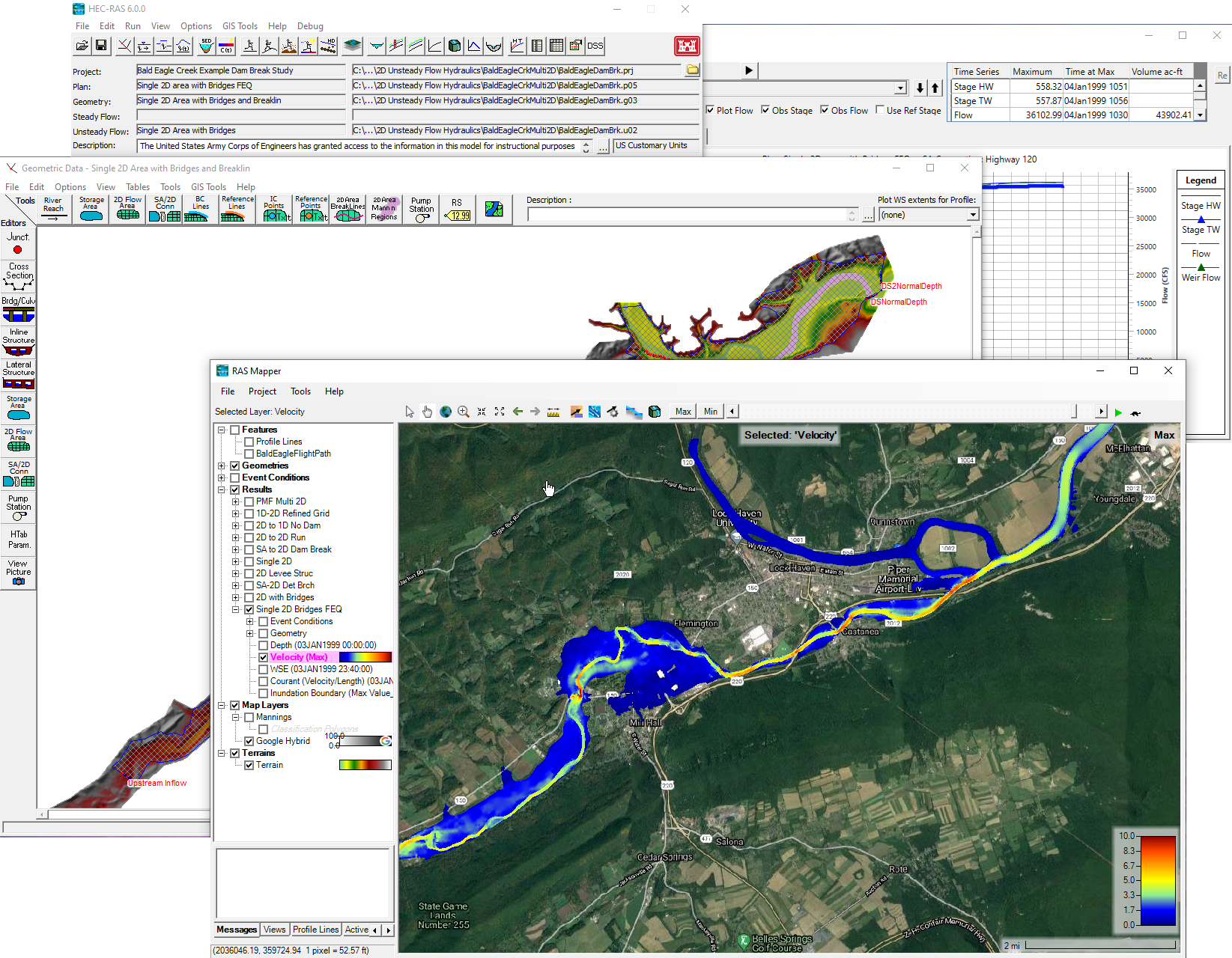
HEC engineers who developed the upgrades — which involved functionalizing and incorporating a collection of new equations that better predict where water will flow in a post-wildfire environment — earned USACE’s 2023 Innovation of the Year Award in May. Stanford Gibson, HEC Sediment Transport Specialist, described that the updated models’ ability to simulate more complex processes will enable USACE, along with approximately 100,000 people who use the tools each year, to plan more comprehensive strategies for wildfire response.
“The hydraulics include some pretty ‘crunchy’ math,” Gibson described. “Mud and debris flows aren’t water and require new physics and theory. It delves into the world of rheology, which partly studies the flow of complex liquids, and non-Newtonian physics, which studies fluids that depart from Newton’s viscosity assumptions, both of which are fun for someone like me.”
USACE has been hosting training seminars to acquaint users with these new modeling capabilities. With sufficient geographic data, HEC-HMS and HEC-RAS now can model the hydrological effects of a wildfire for virtually any location on Earth.
“A big part of our jobs is to understand and help others understand their risks,” added HEC Director Chris Dunn. “These capabilities have helped us to do so in a big way.”
Top image courtesy of Josh O’Connor/U.S. Fish and Wildlife Service

ABOUT THE AUTHOR
Justin Jacques is editor of Stormwater Report and a staff member of the Water Environment Federation (WEF). In addition to writing for WEF’s online publications, he also contributes to Water Environment & Technology magazine. Contact him at jjacques@wef.org.