Study: New Trees Bring Stormwater Benefits Even Before Full Maturity
Planting native trees en masse can help prevent flooding by enhancing soil’s ability to absorb...
Read More
Planting native trees en masse can help prevent flooding by enhancing soil’s ability to absorb...
Read More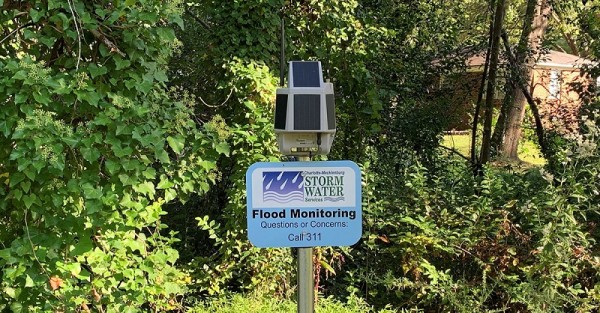
Predicting major flood events before they occur can mitigate loss of life and better protect...
Read More
The newly released Coastal Texas Protection and Restoration Feasibility Study outlines a plan to...
Read More
During WEFTEC Connect, experts leading national efforts to fill stormwater-sector data gaps,...
Read More
Green infrastructure can help improve flood resilience in low-income communities at typically...
Read More
