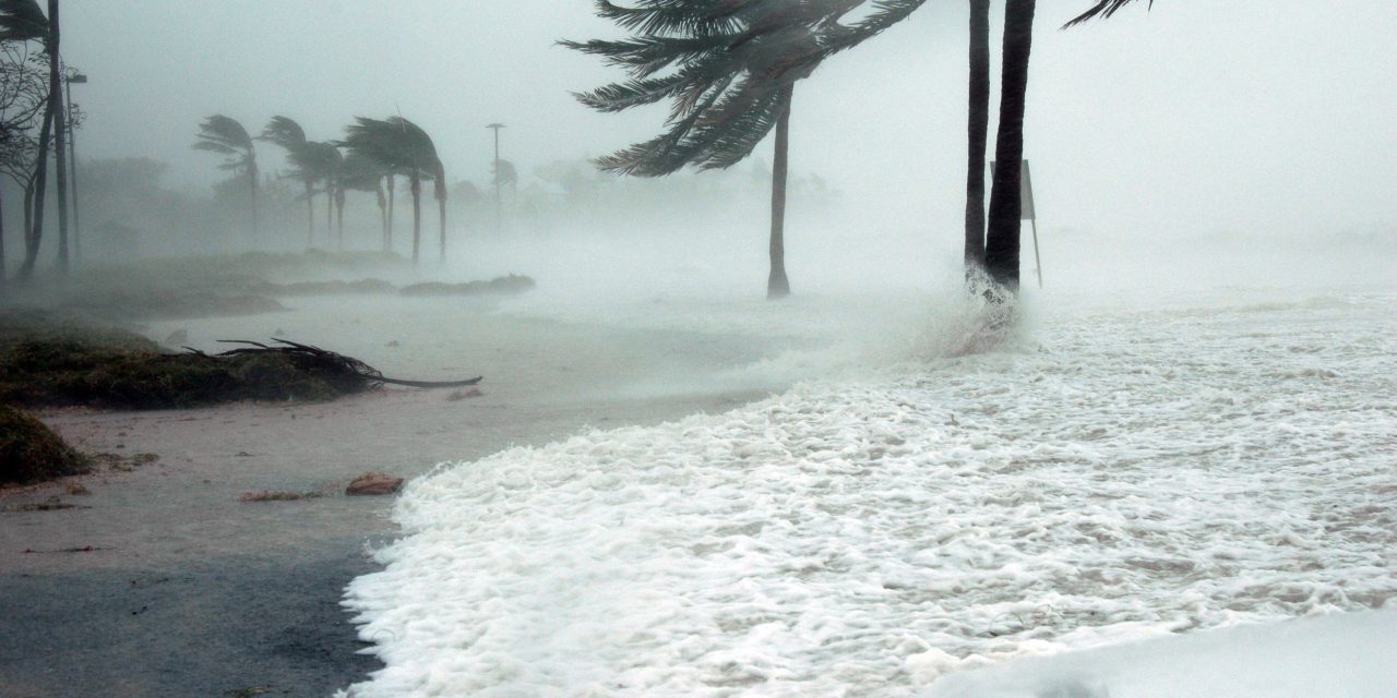
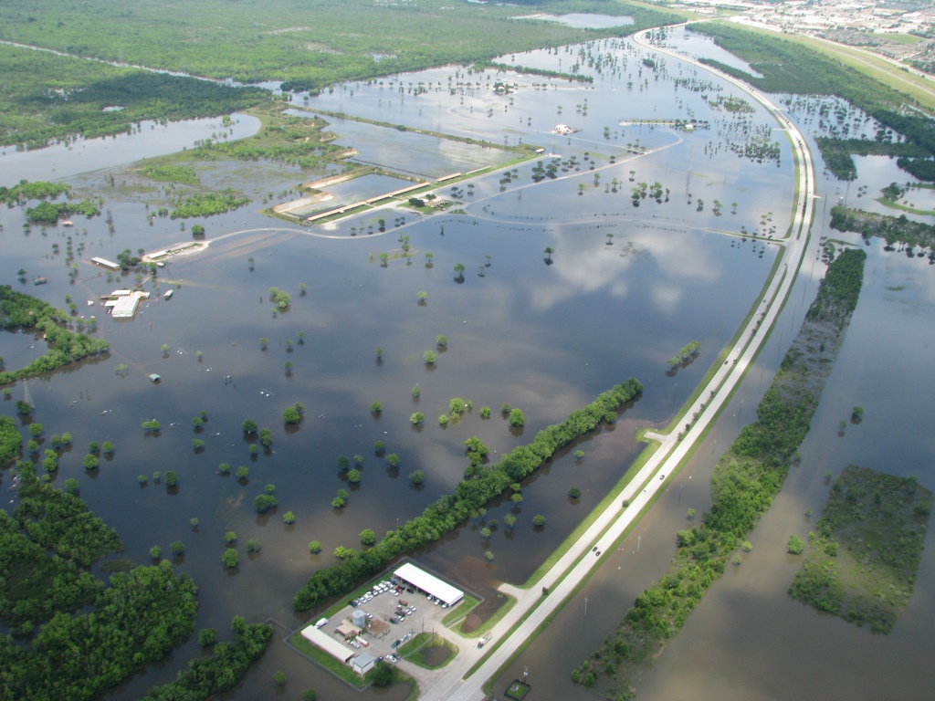
On October 9, 2024, Hurricane Milton roared ashore as a Category 3 hurricane near Siesta Key, Florida, leaving a trail of devastation in its wake. The storm’s impact was multifaceted, with 46 tornadoes spawning across the region, torrential rain causing localized flooding, and storm surge wreaking havoc from Siesta Key to Fort Myers Beach. Rainfall totals ranged from 25-38 cm (10-15 in), with some areas experiencing even higher amounts.
What set Hurricane Milton apart was its alarming rate of rapid intensification — its wind speeds soared by 40 m/s (90 mph) in just 24 hours prior to landfall. This ranks among the fastest ever recorded, according to the U.S. National Oceanic and Atmospheric Administration.
A new study published in Environmental Research Letters explores the role of sea spray in rapidly fueling these massive storms — insights which may enhance the future accuracy of hurricane forecasting. Study authors represent Florida State University (FSU; Tallahassee) as well as South Korea’s APEC Climate Center (Busan), Pukyong National University (Busan), and Ulsan National Institute of Science and Technology.
“We know forecasts predicting hurricane tracks are pretty good most of the time, but the intensity forecasts have traditionally not been as good, and we’re trying to figure out why,” said Mark Bourassa, study co-author and professor in the FSU Department of Earth, Ocean and Atmospheric Science, in a release.
Understanding Sea Spray
Under the intense winds of a hurricane, ocean waves break and eject billions of seawater droplets into the atmosphere. This sea spray serves as a conduit for transferring moisture and heat between the ocean and the air.
Research on how sea spray affects hurricane strength often has depended on indirect measurements like wind speed to estimate its impact on drag reduction, which in turn boosts storm intensity in simulations. However, these methods overlooked the way sea spray contributes to the energy that powers storms, particularly when wind speeds exceed 20 m/s (45 mph), according to the study.
“It’s an amazing amount of energy that we’ve been missing in these storms,” Bourassa said. “When we incorporated data showing how sea spray changes the flow of heat and moisture in a storm, we found that intensity forecasts were remarkably better than they were when we ran the same model without that single change.”
To better understand the response of hurricanes, researchers measured the two types of heat fluxes, or types of heat energy transfer: sensible, which is the direct transfer of heat energy from the ocean to the air; and latent, which is an indirect type of heat released when water vapor condenses in the atmosphere.
A Piece of the Hurricane Modeling Puzzle
Using data from dropsondes — probes dropped by Hurricane Hunter airplanes — and the Coupled-Ocean–Atmosphere–Wave–Sediment Transport (COAWST) weather modeling system, the research team primarily examined the role of sea-spray heat fluxes in the development of four major hurricanes: Harvey (2017), Michael (2018), Ida (2021), and Ian (2022). The team ran simulations that incorporated sea-spray effects and compared them to models that excluded them.
The results showed that storms modeled with sea spray revealed more accurate predictions of intensity and rapid growth. In particular, spray-mediated sensible heat flux emerged as a dominant factor in driving hurricane intensification, increasing its low-level inflow and upper-level outflow while strengthening its core.
While the research is important for hurricane forecasting, it also highlights other areas for further study. For instance, current simulations rely on parameterizations — mathematical representations of physical processes like sea-spray heat flux — rather than direct measurements, because sea-spray heat fluxes are difficult to observe in high =-wind-and-wave conditions. Expanding the availability of real-world data through tools like dropsondes or ocean buoys will be key to refining these models, according to the study.
Despite these challenges, however, chipping away at the mystery of rapid intensification is critical as it will enhance the ability of scientists and meteorologists to make accurate forecasts, leading to reduced uncertainty around the effects of these devastating storms.
Top image courtesy of Pixabay

ABOUT THE AUTHOR
Michelle Kuester is a staff member of the Water Environment Federation, where she serves as Associate Editor of Stormwater Report and Water Environment & Technology magazine. She can be reached at mkuester@wef.org.

