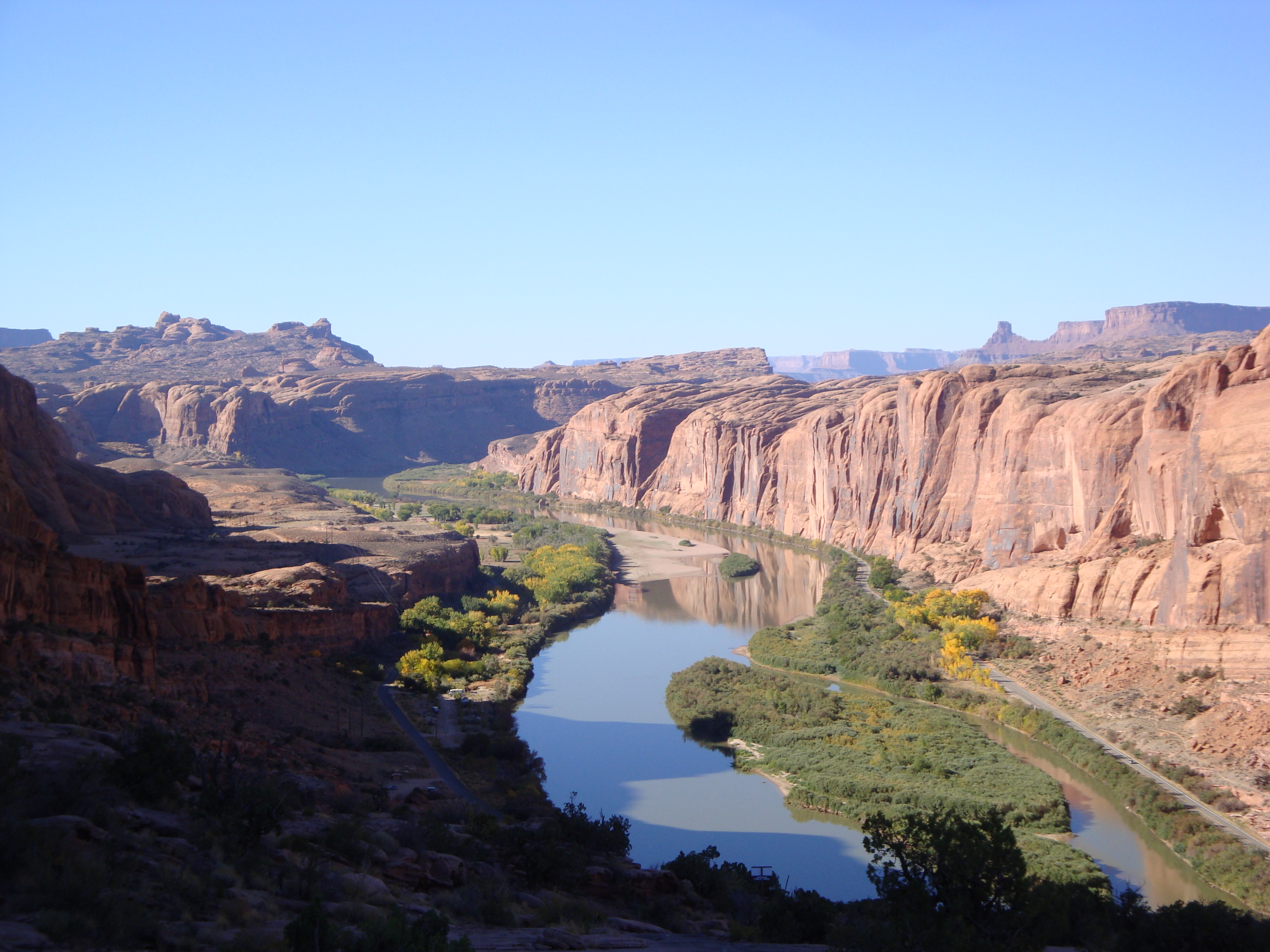
Understanding how climate change might affect thunderstorm formation and intensity is particularly important for dryland drainage basins, where frequent and sudden thunderstorms typically control runoff flow and volume, flood risks, and vegetative health. Sean Waugh/U.S. National Oceanic and Atmospheric Administration
In the lowest and most arid parts of the Colorado River basin, moisture from the ground rises into the atmosphere before condensing rapidly to form frequent and sudden thunderstorms. These storms, which typically control the flow of runoff, provide irrigation for river-bank plants, supplement water supplies, and affect the chance that the river will flood, are crucial to the region’s water environment.
While researchers have speculated about the ways in which climate change might affect the frequency and intensity of rainstorms, few models exist to explore how such shifts might affect thunderstorms. That’s why hydrologists from the University of California (Santa Barbara) Earth Research Institute developed the STORM data visualization tool.
Simulating a warmer future
The STORM tool, which creators Michael Singer and Katerina Michaelides call a “rainstorm generator,” enables scientists to explore the details of rainfall quantity and location on a minute-to-minute basis across multiple decades. Though developed using data from a single dryland drainage basin, the creators say the tool can be deployed to study precipitation patterns in any watershed throughout the world.
“We’re tackling a general problem that has regional implications, particularly in water-scarce areas,” said Singer. “The general problem is, we know that climate change is occurring all over the globe, but what we don’t know is how it will affect convective precipitation [thunderstorms] and associated runoff.”
When applied to watersheds with robust historical rainfall data, the STORM tool can analyze how climate change already has affected rainfall patterns in these sensitive regions. Researchers then can simulate these trends to get a clearer picture of how climate change might affect factors like flooding, storm intensity, runoff volume, and flow patterns.
Stormy, but still dry

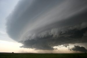
In the drier parts of the Colorado River basin, new research from University of California (Santa Barbara) hydrologists finds that thunderstorms are becoming more frequent, but less intense, as the surrounding climate warms. U.S. Geological Survey
Early results from the STORM tool have challenged previous notions of how rainfall should react to a warming atmosphere. Applying the model to the Walnut Gulch Experimental Watershed in Arizona, for which decades of detailed rainfall information exist, Singer and Michaelides found that thunderstorms are becoming more frequent, but that they deliver increasingly smaller rainfall volumes to the watershed.
“Even though it’s raining more overall, each storm is less intense and drops less water,” Singer said. “While the amount of rainfall is increasing through time and the smaller storms are dumping more rainfall overall, it comes in smaller and more frequent spurts.”
With lower-intensity rainfall should come less surface runoff. Runoff projections from the STORM tool for the Walnut Gulch Watershed have supported that hypothesis, Singer said.
“For a while, there’s been this mystery of a declining runoff signal in the lower Colorado River basin, in particular in the San Pedro River downstream of Walnut Gulch,” he said. “In this part of the basin, people had long suspected that there was less runoff coming into these streams from ephemeral tributaries — ephemeral meaning they’re flowing sometimes but are dry most of the time.”
The researchers intend to turn the STORM tool loose on other thunderstorm-prone watersheds to better understand the possibilities under different climate-change scenarios. Initial findings were published last month in the journal Environmental Research Letters.