On Sept. 18, University of Massachusetts (UMass) at Amherst researchers published a multi-factor analysis of climate- and land-cover-effects on watersheds across the United States. The study quantifies the connections between land use and the climatic variables of temperature and precipitation on runoff and flooding within watersheds at a larger scale than was previously available.
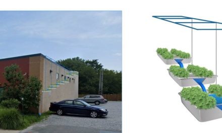
Published in the Journal of Geophysical Research: Biogeosciences, the analysis is intended to provide water quality managers, land use planners, and others with practical ideas for including green infrastructure and conservation plans in development projects. Additionally, the analysis can help encourage cooperation between communities within a watershed when considering new development. Rather than focusing only on site-specific solutions to local problems, the analysis can help communities take a systems approach to land use planning.
“There seems to be a better understanding now that water flowing away from you doesn’t just disappear. It affects someone else, and a problem in the system above you will affect you,” said Timothy Randhir, an author of the study and watershed scientist in the UMass Amherst Department of Environmental Conservation. “This kind of systems thinking has to take over, and cooperation has to be used more often,” Randhir says.
Additionally, the study authors recommend tying private landowners and agricultural lands into stormwater mitigation schemes as well as looking at preventative, source-level solutions.