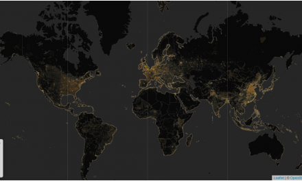
On December 9, the Department of the Interior announced the release of two new dataset hubs. Part of the Climate Data Initiative (CDI), a key feature of the Obama Administration’s Climate Action Plan, the datasets will help local and state leaders build greater community resilience in the face of climate change. Hundreds of datasets from numerous federal departments and agencies have been consolidated into two thematic CDI data hubs for “Ecosystem Vulnerability” and “Water.” The data are now available online to the public for free. Two additional themes, “Coastal Flooding” and “Food Resilience,” were released earlier this year after the launch of the CDI in March.
These theme-based collections are designed to help data innovators in developing additional information and tools to better understand climate change impacts, including changes to the quantity and quality of water resources and the nature of water hazards like droughts and floods.
The CDI improves the accessibility of government records of stream flow, groundwater levels, and water quality spanning more than a century, and estimated water use since 1950. Water datasets contributed by the U.S. Geological Survey (USGS) include the National Water Information System, the leading source of high-frequency stream flow, water quality, groundwater, and water use data for the nation. It features water-resources data collected by USGS at approximately 1.5 million sites in all 50 States, the District of Columbia, Puerto Rico, the Virgin Islands, Guam, American Samoa, and the Commonwealth of the Northern Mariana Islands. Another key resource is the National Oceanic and Atmospheric Administration’s National Climatic Data Center’s holdings of historical precipitation and other climate drivers relevant to the water cycle.
In addition, base map data such as the USGS National Hydrography Dataset and 3D Elevation Program, land cover, soils, and other data are provided along with models such as the National Aeronautic and Space Administration’s North American Land Data Assimilation System, which estimates soil moisture and other water variables.
The Department of the Interior also has released two new major tools for integrating ecosystem data. These stand-alone products will become integral components of the Ecosystem Vulnerability CDI theme: EcoINFORMA and the Global Ecosystems Map. EcoINFORMA is a data tool that facilitates assessments of the impacts of climate change, pollution, and other stressors on ecosystems, biodiversity, and ecosystem services, as well as assessments of management responses to these stressors. The new Global Ecosystems Map comprehensively displays the ecological integration of global bioclimate regions, global land forms, global geology, and global land cover at 250-m (820-ft) spatial resolution worldwide. The previous standard was a coarse 1-km (.62 mi) resolution.


