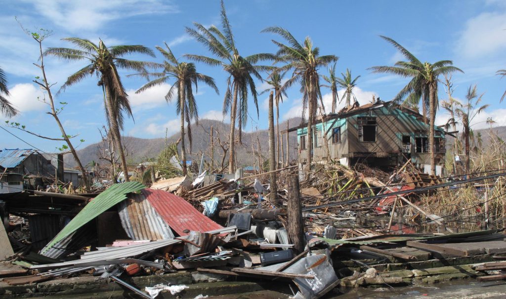
Typhoon Haiyan not only shattered records for fatalities, property damages, and precipitation volumes when it made landfall in the Philippines in November 2013. Reaching wind speeds up to 315 km/h (195 mph), it also broke the thresholds of the Saffir-Simpson Windscale, used worldwide to communicate damage risks from extreme storms. The scale currently defines a Category 5 event — criteria reserved for the most destructive storms ever recorded — as achieving wind speeds higher than 254 km/h (158 mph).
In the years following Typhoon Haiyan, experts have debated the necessity of updates to the Saffir-Simpson Windscale as once-extraordinary tropical storms occur more frequently due to warming ocean and air temperatures. A research article published in February by climatologists Michael Wehner from Lawrence Berkeley National Laboratory (Berkeley, California) and James Kossin from the First Street Foundation (Brooklyn, New York) adds momentum to the push for updated criteria for hurricane risk communication, arguing for a new “Category 6.”
“Our motivation is to reconsider how the open-endedness of the Saffir-Simpson scale can lead to underestimation of risk, and, in particular, how this underestimation becomes increasingly problematic in a warming world,” Wehner said in a release.
Looking Forward and Back
Wehner and Kossin examined Saffir-Simpson-scale ranked tropical storms that occurred around the world between 1980 and 2021, paying particular attention to their destructiveness and deadliness as well as their maximum wind speed.
Their first takeaway was that the number of storms reaching Category 5 criteria within that period has increased significantly in recent years. The analysis found 197 storms with wind speeds higher than 254 km/h (158 mph), more than half of which occurred between 2004 and 2021.

Of these Category 5 events, the researchers found five storms that — based on existing wind-speed ranges in each category of the Saffir-Simpson scale — would qualify as Category 6 events if such a category existed. These five storms, which included Typhoon Haiyan, Hurricane Patricia (2015), Typhoon Meranti (2016), Typhoon Goni (2020), and Typhoon Surigae (2021), each exceeded maximum wind speeds of 309 km/h (192 mph), and each occurred within the past decade.
In addition to past storms, the researchers also examined both the current atmospheric conditions that might generate these extreme, Category 6 storms, as well as how forward-looking climate change projections might make these conditions more potent in the future. Maximum potential intensity (PI) is a common metric used to assess local conditions that could generate extreme storms, such as temperature, pressure, and atmospheric variables, as well as the theoretical intensity of the resulting events. Researchers counted the annual number of days each year that PI exceeded criteria that might generate Category 6 events in regions that usually experience tropical storms. They found that the daily chance of breaking this threshold has more than doubled since 1979.
Next, they studied international-standard climate change projections to predict how these PI values might change under four different warming scenarios. They found that sufficient PI to generate Category 6 storms would be reached about 50% more frequently near the Philippines after a 3.6°F (2°C) average temperature increase compared to preindustrial standards, and 100% more frequently in the Gulf of Mexico. Under an extreme, 7.2°F (4°C) increase scenario, risks for a Category 6 event double in the Philippines and triple in the Gulf of Mexico.
“Even under the relatively low global warming targets of the Paris Agreement, which seeks to limit global warming to just 2.7°F (1.5°C) above preindustrial temperatures by the end of this century, the increased chances of Category 6 storms are substantial in these simulations,” Wehner said.
In commentary about the research article, University of Pennsylvania (Philadelphia) environmental scientist Michael Mann credited Wehner and Kossin with making the most comprehensive case to date for modifying the Saffir-Simpson scale.
“Up until now, that was really just a matter of opinion,” Mann said. “There was no peer-reviewed research to justify the assertion. … It is absolutely critical — from a policy standpoint — that the public and policymakers understand the rising coastal threat from more intense, more damaging, and deadly hurricanes. … Lives are literally at stake.”
Which Way the Wind Blows
Perhaps an even larger source of controversy than the need for a new Saffir-Simpson Windscale category is the effectiveness of using wind speed as a measure of storm hazards in the first place.
A 2014 study from the U.S. National Hurricane Center found, for example, that wind-related damages accounted for only about 8% of hurricane-driven fatalities in the U.S., compared to 49% from coastal storm surge and 27% for flooding.

Wehner and Kossin contend, however, that wind speed is a useful touchpoint for communicating risks to individuals as insurance policies more often protect against wind damages than water damages. While factors such as storm-surge intensity and potential flooding depth might provide more information, they tend to vary significantly based on local topography, making them difficult to convey in actionable ways. An extreme example is PI, which requires in-depth meteorological knowledge to understand and interpret, despite the volume of information about storm hazards it can provide.
As forecasters and emergency personnel can communicate wind speed using a single number that typically correlates with the intensity of these more destructive forces, focusing on wind speed is largely a decision of convenience and clarity in the absence of simpler, clearer metrics and messaging strategies.
“Tropical cyclone risk messaging is a very active topic, and changes in messaging are necessary to better inform the public about inland flooding and storm surge, phenomena that a wind-based scale is only tangentially relevant to,” Kossin said. “While adding a sixth category to the Saffir-Simpson Windscale would not solve that issue, it could raise awareness about the perils of the increased risk of major hurricanes due to global warming.”
Kossin emphasizes that their study does not explicitly call for a new Category 6 designation to the Saffir-Simpson scale. However, he says that the identification of these five storms that significantly overwhelm Category 5 criteria — all of which have occurred since 2012 — supports the notion that new ways to communicate historically extreme storms are increasingly necessary.
“Our results are not meant to propose changes to this scale, but rather to raise awareness that the wind-hazard risk from storms presently designated as Category 5 has increased and will continue to increase under climate change,” Kossin said.
Read the full research article, “The Growing Inadequacy of an Open-Ended Saffir–Simpson Hurricane Wind Scale in a Warming World,” in the journal Proceedings of the National Academy of Sciences.
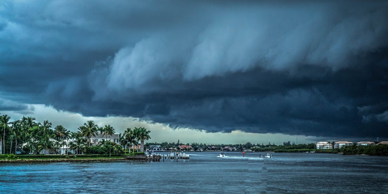
Top image courtesy of Michelle Raponi/Pixabay

ABOUT THE AUTHOR
Justin Jacques is editor of Stormwater Report and a staff member of the Water Environment Federation (WEF). In addition to writing for WEF’s online publications, he also contributes to Water Environment & Technology magazine. Contact him at jjacques@wef.org.


