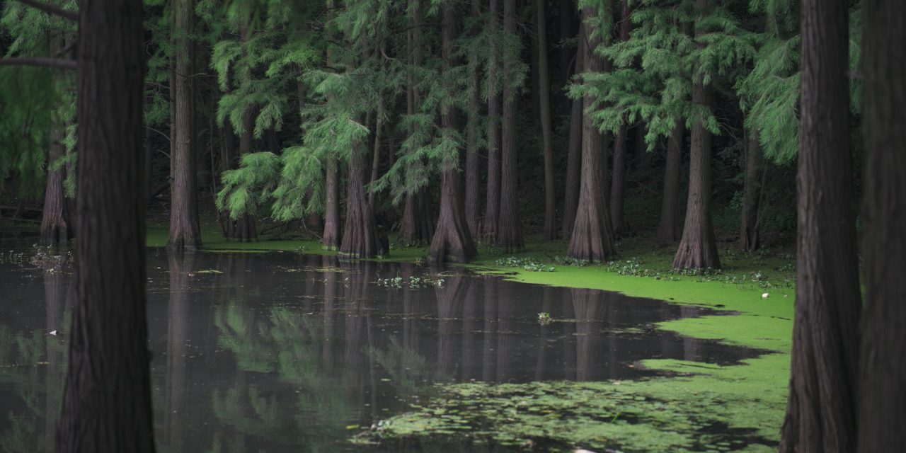
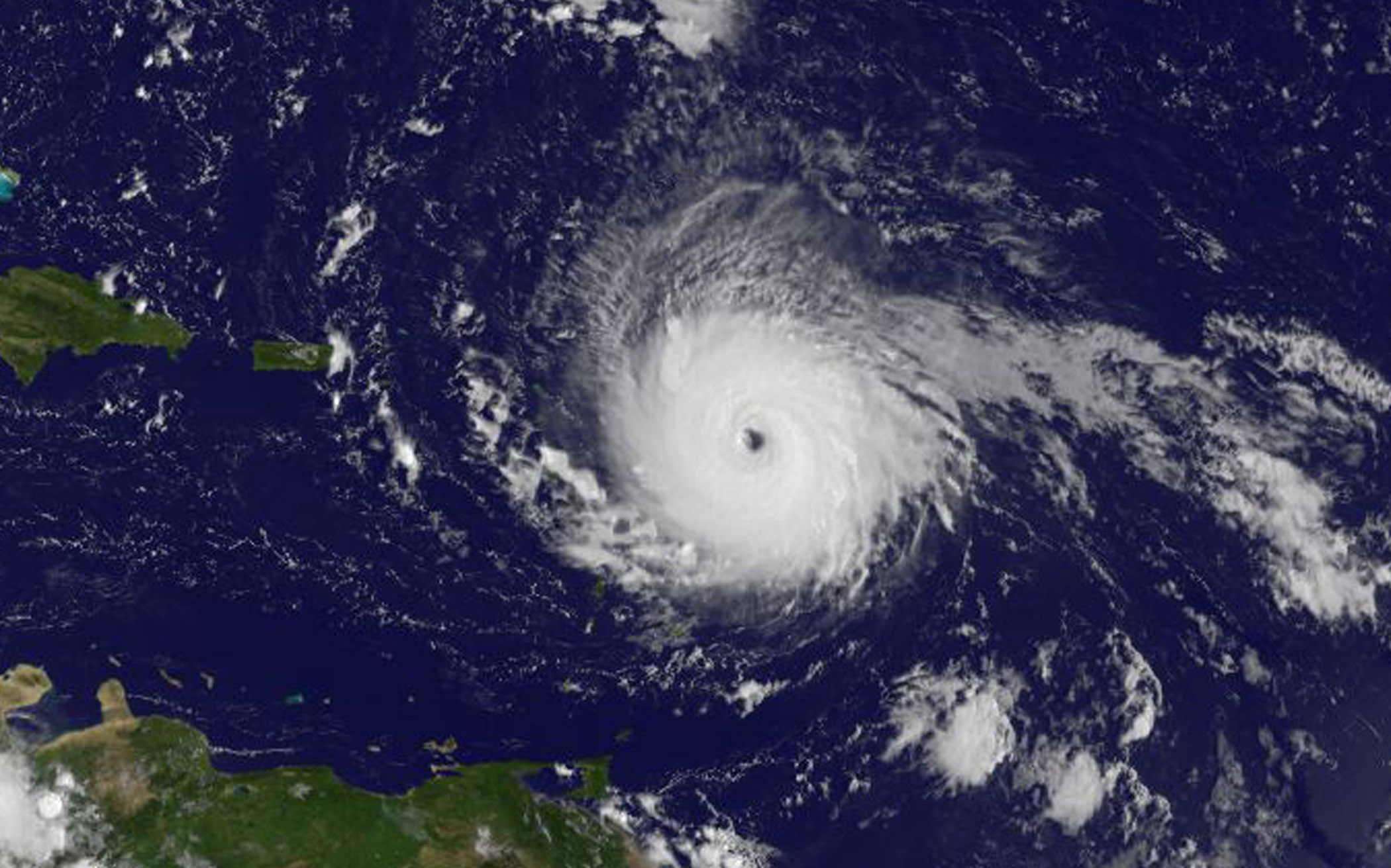
In September 2017, Hurricane Irma made landfall along South Florida, causing an inland path of destruction that secured its place in history as one of the most destructive storms ever to affect the region. Among Irma’s casualties were thousands of acres of coastal mangrove forests, a landform endemic to the Everglades region that provides natural flood prevention and water quality benefits. According to one study, mangrove forests in the U.S. — of which as much as 75% occur in South Florida — each year sequester approximately 14,200 km2 (5,500 mi2) of floodwaters during heavy storms, preventing more than $11 billion in property damages.
Major storms, like Hurricane Irma, often cause damage to mangrove forests that temporarily impair their ability to prevent flooding, but they usually grow back within months. After Irma, a new study by researchers from East Carolina University (ECU; Wanchese, North Carolina), Florida International University (Miami), and the U.S. National Aeronautics and Space Administration (NASA) Goddard Space Flight Center (Greenbelt, Maryland) finds that South Florida mangrove forests suffered unprecedented destruction, with nearly 11,000 ha (27,000 ac) experiencing permanent dieback.
Studying the causes behind the mangroves’ post-Irma decline can help managers of coastal ecosystems address their unique vulnerabilities to better prepare for the next major storm, explains lead author David Lagomasino of the ECU Department of Coastal Studies.
“What we have learned in Florida can be useful to North Carolina and other coastal regions,” Lagomasino said in a release. “Our results indicate that the elevation of the landscape, the connectivity of water across the landscape, and the height of storm surge can indicate vulnerable areas. In other words, low elevation areas that are disconnected or do not have the capability to drain after being flooded are more susceptible to long-term damage.”
Damage and Dieback
Before determining the specific factors of Hurricane Irma that made the storm so destructive to mangrove forests, the research team first sought to gauge the extent of the damages. Researchers combined footage gathered from both aerial surveys and NASA satellites of the roughly 130,000-ha (320,000-ac) area where Hurricane Irma first made landfall, comparing mangrove coverage from before and after the storm.
Poring over the affected area meter by meter, the team determined that approximately 62% of all mangrove forests in Irma’s path suffered damage to some extent, with forests featuring trees higher than 10 m (33 ft) particularly vulnerable. Whether those forests recovered, according to the team’s study, had to do with whether floodwaters from Irma’s up-to-3-m (10-ft) storm surge could drain unimpeded back into the ocean. One year after the storm, approximately 83% of damaged mangrove forests had successfully resprouted new leaves — but in areas where drainage was lacking, the forests never fully recovered. In all, the team estimates that 10,760 ha (26,600 ac) of mangrove forests experienced permanent dieback.
Dieback was most concentrated in stretches of forest enclosed by natural or manmade barriers. For example, the largest incidence of mangrove death was along Buttonwood Ridge, a natural coastal barrier situated on Florida’s southern tip that limits tidal exchange, impounds water, and isolates inland mangroves from the Florida Bay. In other places, artificial obstacles like levees and roads caused similar hydrological disruptions. The researchers surmise that Hurricane Irma’s high storm surge worked in tandem with these barriers to create enclosed, saltwater ponds, and that these combined factors had a far greater effect on mangrove mortality than the storm’s wind speed.
“The big takeaway here is that intense winds do a lot of damage during hurricanes,” Lagomasino said. “However, the intensity of damage does not necessarily coincide with the ability of the system to recover over time. Other factors, like slight changes in the elevation of the coastal landscape and storm surge, play a significant role in how the ecosystem recovers or does not recover after the initial damage.”
Insights for Coastal Resilience
According to the researchers, studying the long-term effects of Hurricane Irma on mangroves and other sensitive coastal landscapes can help inform disaster prevention and relief efforts far beyond south Florida. The study outlines several policy and informational priorities that could improve resilience to extreme weather events in coastal communities, such as:
- improving the current categorical scale for ranking hurricane intensity with new metrics that account for storm surge effects and local geology;
- establishing field research stations in low-lying areas to help identify physical and biological processes that may make a region more vulnerable to hurricanes than others;
- performing regular coastal surveys to monitor drainage basins and improve hydrological connectivity; and
- promoting freshwater flow to help create new tidal channels.
“We hope that the information from our research will help improve the recovery process after storms,” Lagomasino said. “If these areas can be identified ahead of time, then the disaster response can address issues in hard-hit areas much faster or minimize the impact beforehand.”
Top image courtesy of Pexels/Pixabay