Around the world, the combined effects of climate change and urbanization are causing unexpected shifts in whether a storm causes a flood. While intensifying storms and dwindling permeable space each play a role in making floods occur more frequently, in some places, the effects of these factors compound upon one another to enhance flooding beyond the sum of the parts.
The Las Vegas Valley provides one example of this situation. A recent study published in the Journal of Hydrometeorology examines 70 years of flooding data as they relate to long-term changes in temperature, population, infrastructure, and land use. The study not only suggests that Las Vegas flood events are becoming more severe gradually, but also that the timing of “flood season” is shifting from summer to winter.
The study was written by researchers from the Desert Research Institute (DRI; Las Vegas), University of Wisconsin–Madison, Guangdong University of Technology (Guangzhou, China), and Clark County Regional Flood Control District (Las Vegas).
“A lot of research focuses on a single factor — either land use or climate — but in Las Vegas, our study shows that both are changing and interacting with each other,” said Guo Yu, DRI Hydrologist and lead author, in a release. “I wanted to understand the reason for this change as well as the physical mechanisms driving it, because that will help water managers and the public understand whether such a change will continue in the future, given climate and land-use changes here.”
An Unlikely Hotspot for Flooding
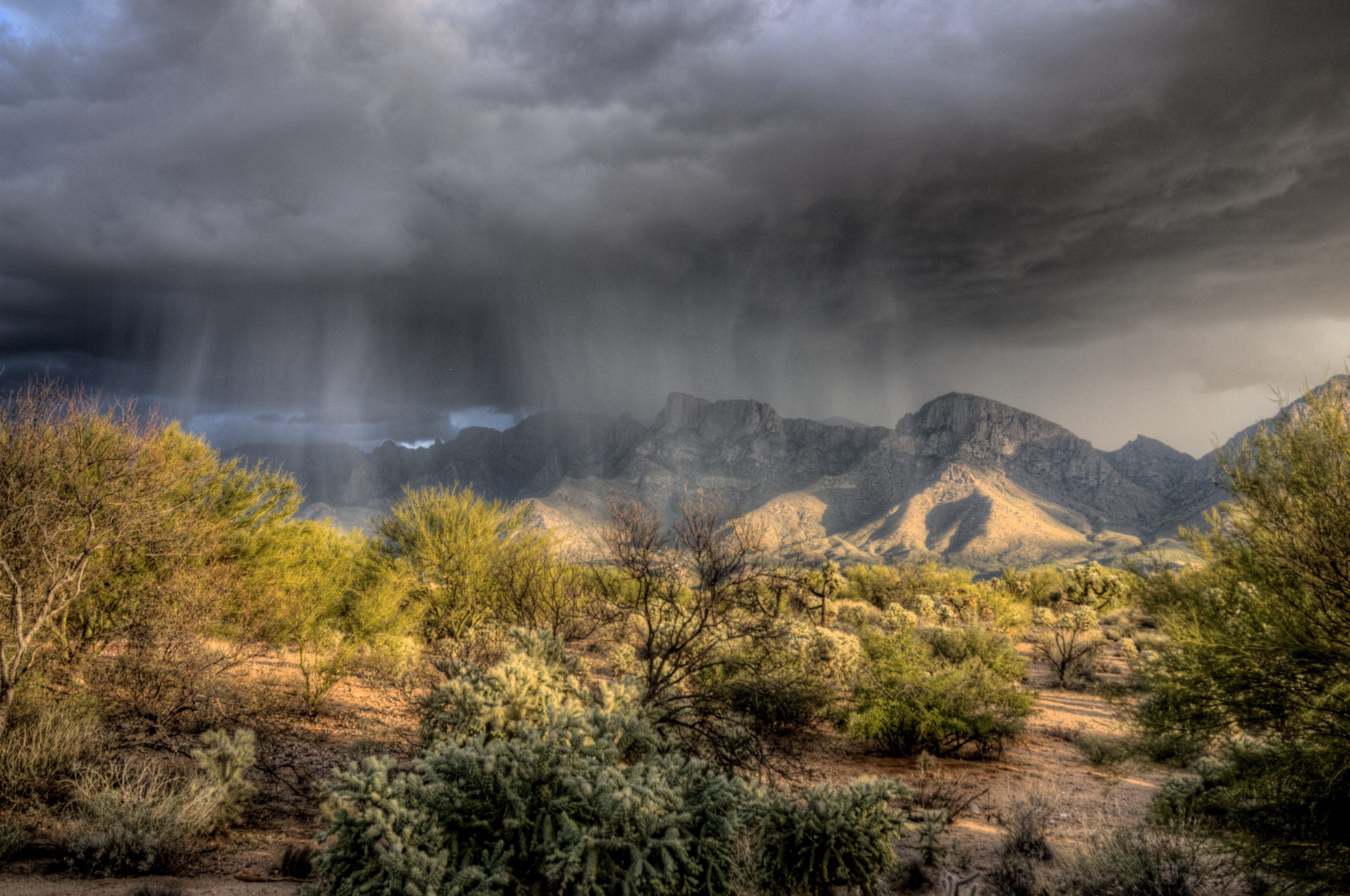
The Las Vegas Valley typically receives only about 10 cm (4 in.) of precipitation each year — about 87% lower than the nationwide average. Despite its aridness, the region is a hotspot for severe flood events. When the North American Monsoon system passes through the southwest U.S. in the summer months, storms tend to deliver short yet intense bursts of rain that fall on slow-draining, sandy, and vegetation-sparse surfaces that generate large amounts of runoff.
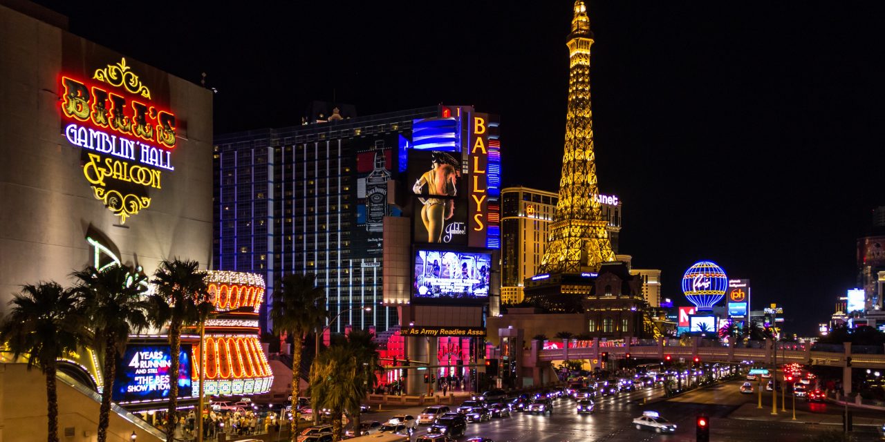
Meanwhile, the Las Vegas metropolitan area remains in the midst of one of the most dramatic population booms in the U.S. In 1950, the city contained fewer than 35,000 people. According to the 2020 U.S. Census, that number now approaches 3 million. This rapid urbanization has spurred a steady expansion of impervious space in the Las Vegas Valley and sprawling into surrounding mountain ranges.
For these reasons, the valley is highly susceptible to flash flooding. In terms of streamflow volume per unit of watershed area, the researchers note, five out of twelve of the most extreme flash-flood events on record throughout the U.S. have occurred in the southwest U.S. Fatal flooding has occurred as recently as August 2022, when monsoon-driven rains in southern Nevada caused two deaths.
Climate Change, Urbanization Change the Equation
From 1950 until the mid-1980s, the analysis finds that the average annual peak flow — in other words, the severity of the year’s largest flood event — was about 15 m3/s (530 ft3/s). During the second half of the study period, that average jumped to 89 m3/s (3143 ft3/s), despite average annual rainfall totals rising by only about 2 mm (0.08 in.).
Despite this increase in peak flows, an ever-expanding network of flood control infrastructure in the watershed works to keep most hazards away from populated areas. Since its establishment in 1985, the Clark County Regional Flood Control District has constructed more than 1000 km (620 mi) of storm drains, open channels, and culverts intended to divert runoff toward Lake Mead. This infrastructure tends to feature concrete lining, which keeps water moving toward a specific course, but also prevents infiltration and enhances peak flows outside city limits.
According to the study, on the watershed scale, this infrastructure has caused floodwater density in the Las Vegas Valley to more than double, potentially entailing hazards as the Las Vegas metropolitan area continues to expand outward.
Meanwhile, while climate change may not have increased overall rainfall volumes, evidence suggests that the timing of major storms in the southwest U.S. has shifted. From 1957 to 1988, 17 annual peak flows occurred in summer and 15 occurred in winter. From 1989 to 2020, 12 peak flows occurred in summer and 20 occurred in winter.
More than half of these wintertime peak flows resulted from atmospheric rivers — long, narrow bands of atmospheric water vapor capable of producing prolonged storms that most strongly affect areas at the foot of mountain ranges. The study suggests that climate change is gradually strengthening atmospheric river storms while weakening the North American Monsoon system.
Historically, monsoon-driven storms occurred more frequently, delivering less rainfall at a time. By contrast, atmospheric river storms occur less often, but deliver more precipitation at once, creating a higher potential for flooding.
“Historically, people in Las Vegas haven’t paid as much attention to winter floods as to summer floods,” Yu said. “But our research shows that there will be more frequent winter floods happening because of climate change. This is because the warmer sea surface temperatures on the Pacific coast will cause more atmospheric rivers, like what we’re seeing this January in California. And when these are positioned to bypass the Sierra Nevada mountains, they will very likely hit Las Vegas and cause severe winter rainfall and floods.”
The research pinpoints 1996 as a clear “changepoint” in the regime of flooding in the Las Vegas Valley. That year is when the effects of changing storm seasonality, urbanization, and flood-redirection infrastructure combined to a point where annual peak flows increased substantially and non-linearly compared to their historical averages. Within the 70-year study period, the nine largest peak flows observed occurred since 1996.
Read the full study, “The Nonstationary Flood Hydrology of an Urbanizing Arid Watershed,” in the Journal of Hydrometeorology.
Top image courtesy of zzim780/Pixabay

ABOUT THE AUTHOR
Justin Jacques is editor of Stormwater Report and a staff member of the Water Environment Federation (WEF). In addition to writing for WEF’s online publications, he also contributes to Water Environment & Technology magazine. Contact him at jjacques@wef.org.