Scientists will soon gain access to millions of additional datapoints about Earth’s lakes, rivers, and oceans thanks to a new satellite mission co-launched by the U.S. and French space agencies in December 2022.
The Surface Water and Ocean Topography (SWOT) satellite will orbit Earth for approximately three years. In this mission, it will gather high-resolution data about annual fluctuations in ocean depths as well as the height of large lakes and rivers. From these measurements, scientists will be able to derive key metrics to understand the effects of climate change and the processes that drive flooding. Currently, this data originates mainly from water-level and tidal gauges — infrastructure that does not currently exist in the majority of Earth’s surface waters and coastlines, let alone in the deepest reaches of the ocean.
The SWOT mission is a product of about 15 years of planning between the U.S. National Aeronautics and Space Administration (NASA) and French Centre National d’Études Spatiales (CNES).
Tamlin Pavelsky, SWOT Science Team Lead, described that SWOT’s insights will “usher in a new golden age for the science of rivers and lakes.”
“Right now, we can measure how the amount of water in lakes and reservoirs changes for a few thousand lakes worldwide,” Pavelsky said. “With SWOT, we’ll be able to observe millions. As climate change and direct human activities influence our rivers, SWOT will help us to understand changing risks from flooding, opportunities for sustainable water use, and the fundamental nature of these important natural systems.”
Fathoming the Depths of Climate Change
Climatologists can infer an array of important details about how waterways behave in a warming world based on waterline fluctuations. In the case of rivers, analyzing long-term patterns in streamflow volume can help watershed managers better predict seasonal flooding and drought as well as the unique ways in which a specific reach of stream will respond to major precipitation.
Most predictive models that researchers and cities now use to predict flooding and drought rely on data from river gauges. In the few rivers where these gauges exist, many suffer from gaps in coverage that undermine effective flood and drought predictions. Lakes and reservoirs face similar issues, subject to gradual waterline fluctuations that can provide an early warning of drinking water shortages, recreational risks, and ecological impairments, if identified by monitoring equipment.
Researchers believe the world’s oceans absorb more than 90% of the excess heat and carbon trapped in the atmosphere by greenhouse gases, but a similar lack of worldwide tidal-gauge coverage has hindered attempts to explore this phenomenon in detail. Insights from SWOT, according to the mission team, will help scientists identify the points at which oceans reach their capacity to absorb this heat and carbon and release it back into the air. Understanding these thresholds — in ambient ocean currents as well as short-term features like fronts and eddies — will offer scientists a better picture of the ocean’s role in climate change and develop more accurate predictions of sea-level rise.
SWOT will focus mainly on waterways large enough to require extensive sensor coverage. This includes lakes covering areas larger than 6 ha (15 ac), rivers wider than 100 m (330 ft) in diameter, and the world’s coastlines, reports the mission team. Monitoring the Earth’s surface between the Arctic and Antarctic approximately every 21 days, the satellite will provide in-depth data on more than 95% of these important waterways worldwide.
“We’re eager to see SWOT in action,” said Karen St. Germain, NASA Earth Science Division director, in a release. “This satellite embodies how we are improving life on Earth through science and technological innovations. The data that innovation will provide is essential to better understanding how Earth’s air, water, and ecosystems interact – and how people can thrive on our changing planet.”
Taking a Worldwide Pulse
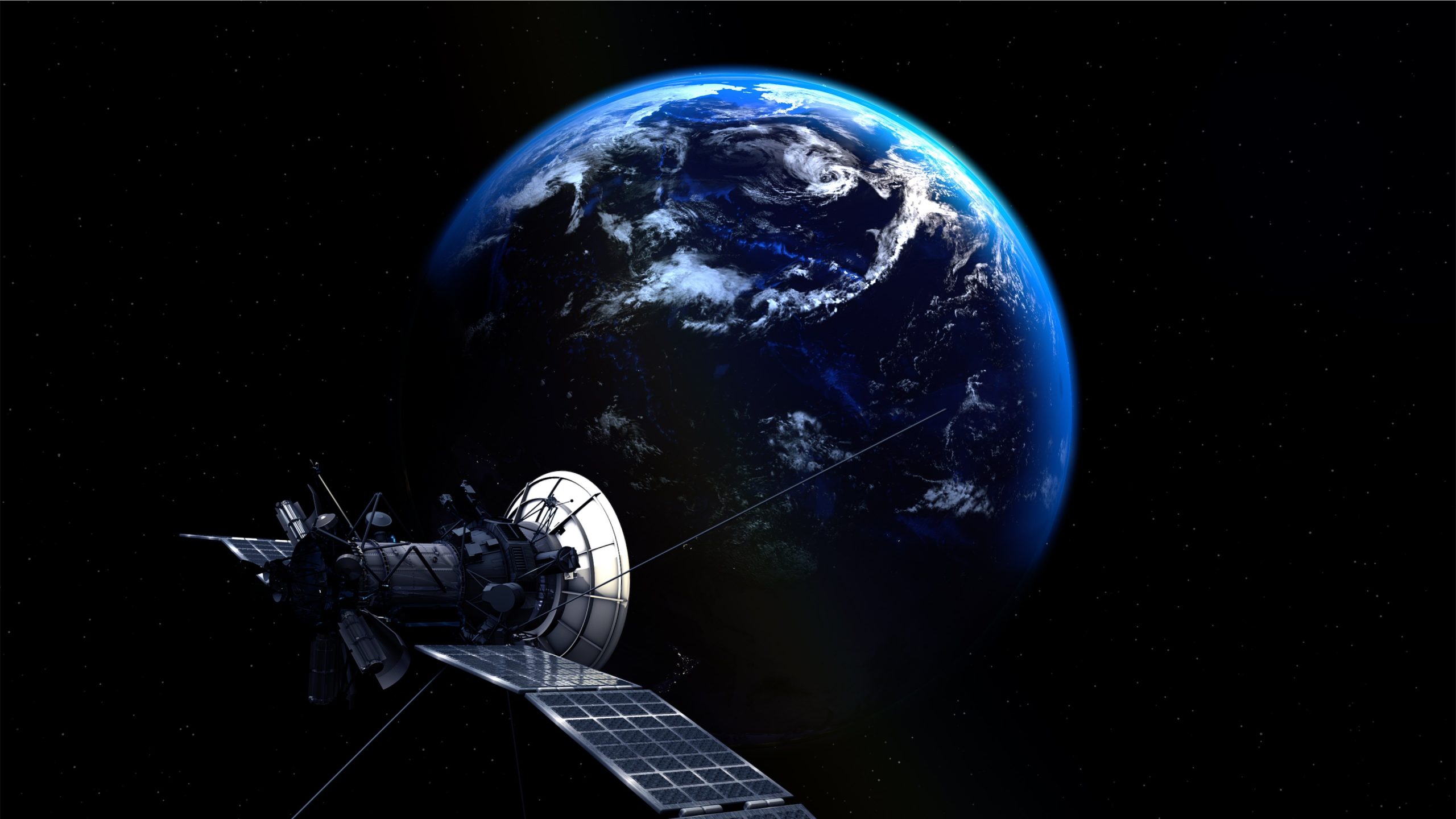
The key difference between SWOT and other satellite-based survey missions is its purpose-built technology. At the heart of the SWOT satellite is an instrument known as a Ka-band radar interferometer — KaRIn for short.
KaRIn works by bouncing long-range radar pulses off the water’s surface, using two specialized antennae to receive and interpret the return signal from each pulse. A single pulse can accurately measure water depth over an area covering approximately 50 km (30 mi) wide. As it slowly orbits the Earth measuring waterways pulse by pulse, the SWOT satellite will provide researchers with approximately one terabyte of hydrological data per day.
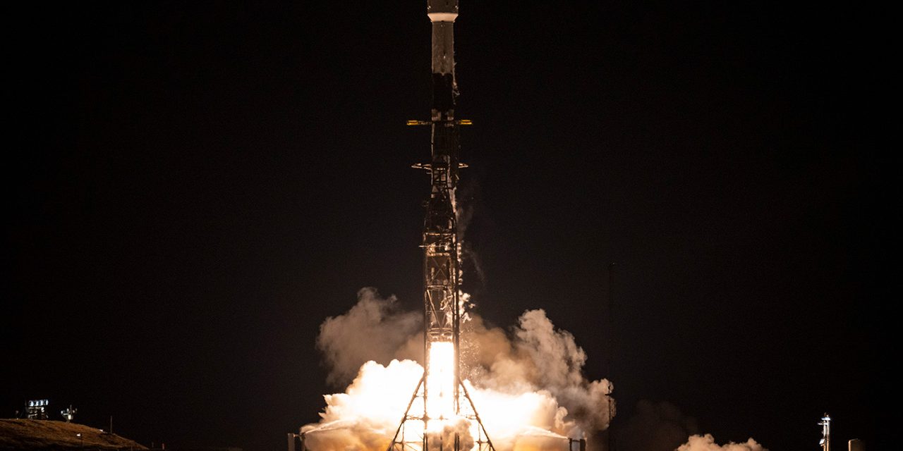
Immediately following SWOT’s launch on December 16, 2022, from California’s Vandenberg Space Force Base, it began a six-month “fast-sampling” phase. During this period, the satellite will hover about 857 km (532.5 mi) above Earth, circumnavigating the globe once each day to provide a baseline set of data intended to calibrate the equipment.
In 2019, NASA and CNES invited hydrologists and oceanographers to participate in this calibration campaign by providing local, on-the-ground water level measurements to validate via SWOT’s initial findings. After this phase, SWOT will ascend by about 34 km (21 mi) and dramatically slow its pace, marking the beginning of its main survey campaign.
“This mission marks the continuity of 30 years of collaboration between NASA and CNES in altimetry,” said Caroline Laurent, CNES Orbital Systems and Applications director, in a statement. “It shows how international collaboration can be achieved through a breakthrough mission that will help us better understand climate change and its effects around the world.”
Follow the SWOT mission’s progress on its website, and watch the satellite’s launch atop a SpaceX Falcon 9 rocket below:
Top image courtesy of U.S. National Aeronautics and Space Administration/Keegan Barber

ABOUT THE AUTHOR
Justin Jacques is editor of Stormwater Report and a staff member of the Water Environment Federation (WEF). In addition to writing for WEF’s online publications, he also contributes to Water Environment & Technology magazine. Contact him at jjacques@wef.org.