In terms of precipitation, the Southwest U.S. is becoming less and less predictable.
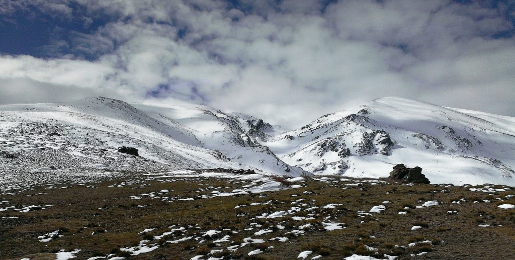
Parts of California and Nevada downhill from the Sierra Nevada depend on snowmelt from the mountains for as much as 75% of their annual water supplies. But as the atmosphere warms, winter precipitation increasingly falls as rain rather than snow. Not only does this mean less spring snowmelt, but it also means higher frequencies for winter rain-on-snow (ROS) events. ROS events that drop warm rain cause snowpack to rapidly melt. The result is higher winter peak flows with the potential to cause dangerous flooding conditions. Whether an ROS event will cause downstream flooding, however, is a complex function of minute-by-minute temperature, snowpack density, and precipitation. Predicting floods with accuracy in this situation is difficult.
In the desert regions of New Mexico and Arizona, water managers face a similar challenge each summer. Here, annual snowmelt also makes up a significant portion of the region’s water resources, but winter snowpack volumes are shrinking consistently. Capturing and using what little rainfall the perennially drought-stricken area receives each year can help offset these losses and bolster water security, but accurately predicting how much rain will fall in which catchments — especially during the late-summer monsoon season — has long eluded scientists and water managers.
Two recent studies published in the journals iScience and Geophysical Research Letters report new ways to minimize the Southwest’s unique forecasting uncertainties.
Using Soil Moisture to Assess Rain-on-Snow Risks
Not every winter storm produces dangerous ROS events. Under the right conditions, however, winter ROS events have produced as much as 80% higher peak flows downhill compared to the slow, gradual Sierra Nevada snowmelt that occurs each spring. If water managers could accurately identify conditions that increase flood risks from ROS events early enough, they could help stave off flooding by freeing up capacity in reservoirs. However, current streamflow prediction models often have trouble incorporating the complex, site-specific conditions affecting ROS events into actionable forecasts.
A team of interdisciplinary scientists from the Desert Research Institute (Reno, Nevada); the University of California, Berkeley; the U.S. National Weather Service; and the University of Nevada (Reno) describe a new statistical method to use data from existing snow monitoring stations to detect when flooding from ROS events is more likely to occur.
“We know the condition of the snowpack leading into a rain-on-snow event can either help mitigate or exacerbate flooding concerns,” said Tim Bardsley, Reno-based National Weather Service hydrologist and study co-author, in a release. “The challenge is that the simplified physics and lumped nature of our current operational river forecast models struggle to provide helpful guidance here. This research and framework aim to help fill that information gap.”
To build their decision-support tool, the researchers studied the hourly record of data on such factors as snowpack density, snowmelt volume, temperature, and precipitation. The data was collected by the University of California, Berkeley, Central Sierra Snow Laboratory (CSSL) snow monitoring network from 2006 to 2019. The researchers discovered a strong correlation between spikes in soil moisture after a storm begins and — a few hours later — significant upticks in streamflow. Specifically, the authors write, increases in soil moisture of at least 0.5% in one hour or 1% in two hours represented a strong predictor of increased flood risks.
Authors acknowledge that not every spike in winter soil moisture can be attributed to ROS events. The framework employs a strict quality control procedure that crosschecks measures of soil moisture alongside other environmental variables before performing a statistical analysis to more accurately determine whether each spike originates from an ROS event. Comparing the team’s framework to conventional streamflow models on simulations of historical ROS events, they found that their method predicted flooding associated with ROS more than 25% more accurately.
The new method comes at an opportune time, authors write, as research suggests the Sierra Nevada region is entering a period of “peak ROS”. In this period of climate change in which winter precipitation is more likely to fall as rain than snow — but also in which the atmosphere is not yet warm enough to cause a persistent decline in snowpack volumes — ROS events are expected to occur far more frequently.
Read the full, open-access study, titled “Toward Snowpack Runoff Decision Support,” in iScience.
Interpreting Precipitation from Pressure
Between June and October, strong winds carry moisture from the Pacific Ocean across Arizona and New Mexico, delivering monsoon rains that typically account for approximately 60% of the desert region’s total annual precipitation.
Most major climate models can predict the larger-scale aspects of the North American Monsoon system, such as changes in wind speeds, air and water pressure, and temperature. However, climatologists from the National Center for Atmospheric Research (NCAR; Boulder, Colorado) and the U.S. Bureau of Reclamation describe that even the most sophisticated climate models often fail to accurately predict more localized effects, such as the specific amount of precipitation each Southwest community should expect to receive each monsoon season. The team contends in an April 2022 study that decreasing this annual uncertainty for local water managers — an acute challenge when planning year-round reservoir storage and water allocation decisions — may be deceptively simple.
Focusing on eight catchments in Arizona and six in New Mexico, the researchers sought to determine whether atmospheric and hydrological conditions earlier in the year could leave behind clues about how much precipitation to expect during monsoon season. They used an NCAR supercomputer to examine the nuances of more than three decades of forecasts made by several major climate models, comparing those forecasts against actual monsoon-season precipitation. According to the study, one popular global climate model managed by the European Centre for Medium-Range Weather Forecasts (ECMRWF) consistently outperformed all others in terms of its accuracy for atmospheric conditions in New Mexico and Arizona. But even that model often misreported monsoon precipitation.
However, during summers with above-average precipitation volumes, the researchers noticed a pattern: In April, the ECMRWF model would predict a significant uptick in moisture in the lowest level of the atmosphere. Comparing the size of these upticks to precipitation totals in each catchment between June and October, the researchers identified a statistically significant correlation. That correlation persisted across nearly all catchments within the study area. In their study, the team proposes a function to use data on low-level atmospheric moisture observed in April to predict summer rainfall totals months in advance.
“The method is surprisingly successful, enabling us to look at individual catchments and correctly predict months ahead of time whether they will get above or below average rainfall,” said Andreas Prein, NCAR scientist and lead author of the study, in a release. “The framework itself is very generalizable and can be applied to a variety of different regions and different seasons. This points the way to better seasonal predictions for water resource management across the United States as well as other parts of the world.”
Read the full, open-access study, titled “Sub-Seasonal Predictability of North American Monsoon Precipitation,” in the journal Geophysical Research Letters.
Top image courtesy of Brigitte Werner/Pixabay

ABOUT THE AUTHOR
Justin Jacques is editor of Stormwater Report and a staff member of the Water Environment Federation (WEF). In addition to writing for WEF’s online publications, he also contributes to Water Environment & Technology magazine. Contact him at jjacques@wef.org.

