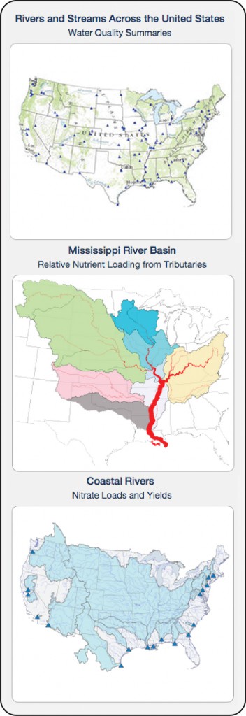
The U.S. Geological Survey (USGS) recently announced the availability of a new online tool that can track nutrients and sediment levels in the nation’s rivers and streams. The online tool covers 106 monitored river and stream sites that are part of the USGS National Water-Quality Network for Rivers and Streams, providing graphical summaries of nutrient and sediment information.
The tool enables water resource managers to make comparisons between recent and long-term (1993-2013) water quality conditions at each site and download water quality datasets that include information on streamflow, concentrations, and loads.
Additionally, the tool can be used to evaluate nutrient loading to coastal areas and large tributaries throughout the Mississippi River Basin.
William Werkheiser, USGS associate director for water, said the annual release of water quality information in graphical form will provide resource managers with timely information on how the quality of water in the nation’s rivers and streams changes over time.


