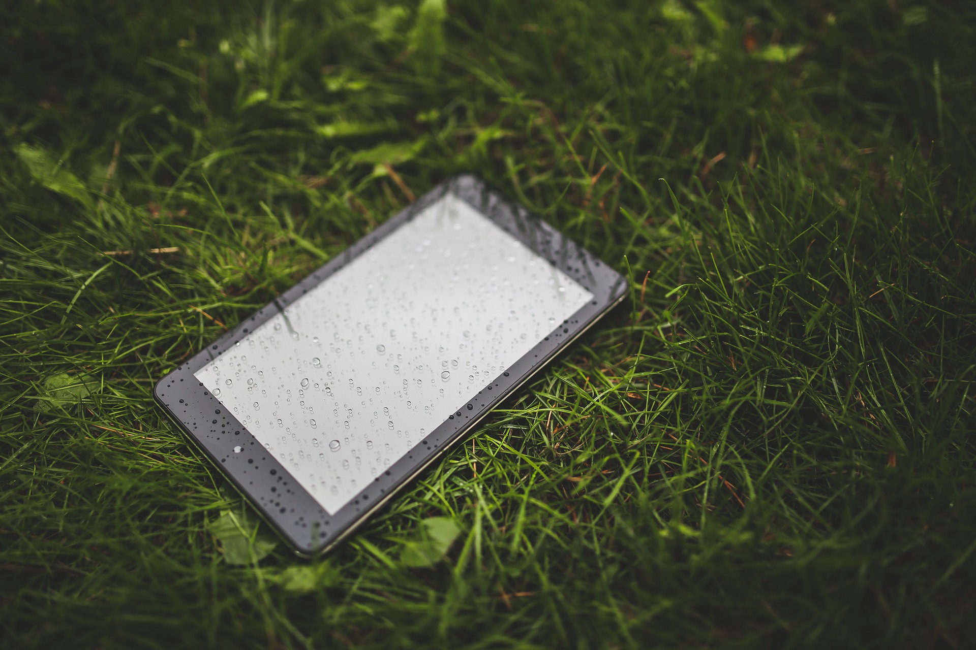
Technology is increasing opportunities for crowdsourcing water data. CrowdHydrology, a new phone application that debuted at the American Geophysical Union meeting in Dec. 2014, allows citizen scientists to report stream depths at various gauging stations and is run in partnership with the U.S. Geological Survey. The stations have signs asking people to report the stream depth by phone. When using the app, the location, time, and data are reported automatically.
The data can show how stormwater runoff increases stream levels, and crowdsourcing allows for data collection over vast swaths of area and at various times for less cost.
The program was co-founded by Michael Fienen, a research hydrologist at the U.S. Geological Survey Wisconsin Water Science Center, and Chris Lowry, a professor of hydrogeology at the University of Buffalo. Started in 2010 in the Great Lakes, participants originally texted measures by phone. The project area, however, is growing with some sites set up in Iowa and Utah. Read more.
An older online citizen science project started in 1997, the Community Collaborative Rain, Hail and Snow Network (CoCoRaHS), also was featured in January by the National Science Foundation, one of the program’s major sponsors.
CoCoRaHS is a successful example of using crowdsourcing — the many data points collected by participants provide a clearer picture of highly variable precipitation data. Since 1997, 46,000 people from across the U.S. have participated, and more than 11,000 reports are generated daily and recorded on the CoCoRaHS website. Read more.