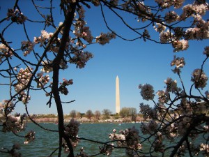
 A team of geologists from the University of Vermont (UVM), working with the U.S. Geological Survey and other institutions, confirmed that land under the Chesapeake Bay is sinking and forecasts that Washington, D.C. could drop by 6 or more inches (15 cm) over the next century. Such a drop would exacerbate problems associated with sea level-rise, according to findings.
Researchers drilled boreholes up to 100 ft (30 m) deep in lands in and around the Blackwater National Wildlife Refuge, located on the Chesapeake Bay’s eastern shore close to the capital. UVM researchers calculated the age of sediment layers in deep cores, and applied these findings to high-resolution Light Detection and Ranging (LIDAR) and Global Positioning System (GPS) map data, enabling scientists to create a detailed three-dimensional image of the Chesapeake Bay’s current and past post-glacial geological periods.
The model confirms a hypothesis that sinking is caused by a geologic process known as “forebulge collapse” in which land — previously forced up by a prehistoric ice sheet — is now settling lower as the ice melts. Over the past 60 years, tide gauge data reveals that sea levels in Chesapeake Bay are rising at a rate double the global average and faster than anywhere else on the East Coast.
The research also makes clear that the sinking land is independent from climate change and is not primarily driven by human activities, such as groundwater pumping.